


Libyan Ports Company
We manage seaports in Libya with the utmost professionalism and safety.
About the Libyan Ports Company
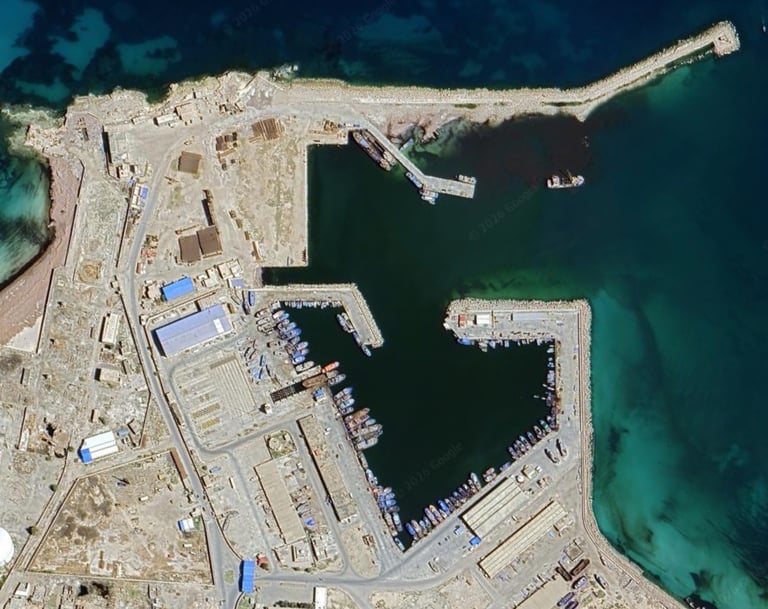
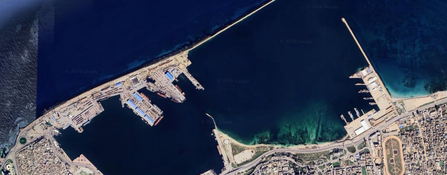
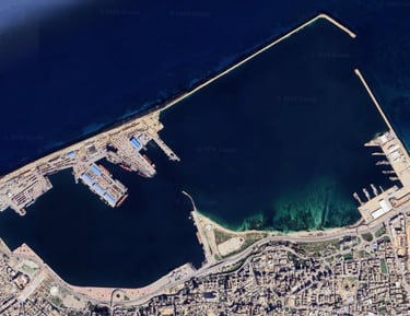
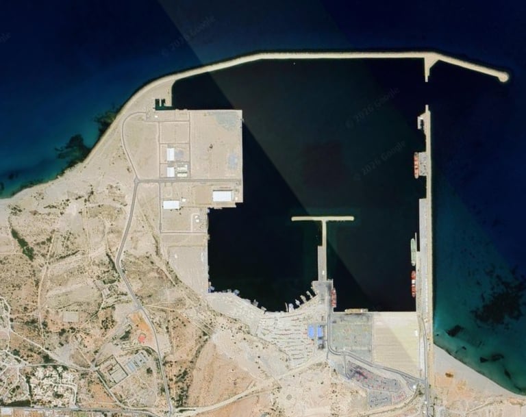
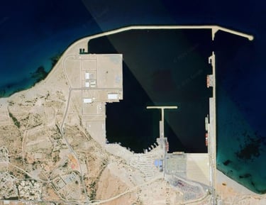
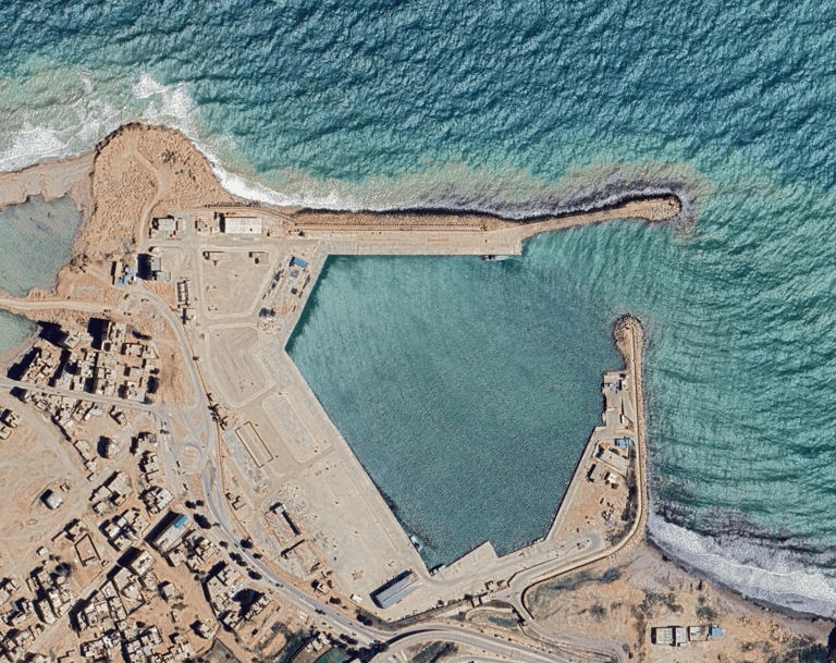
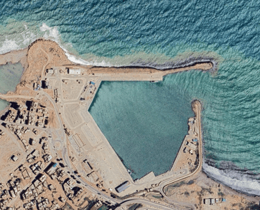
Since its establishment in 1986, the Libyan Ports Company has demonstrated exceptional capability and high efficiency in managing and operating Libya's ports, which span the country's geography. In a remarkably short period, it has become one of the largest national companies. Its headquarters are located in Misrata, and the company operates eight ports:
- Brega Port
- Derna Port
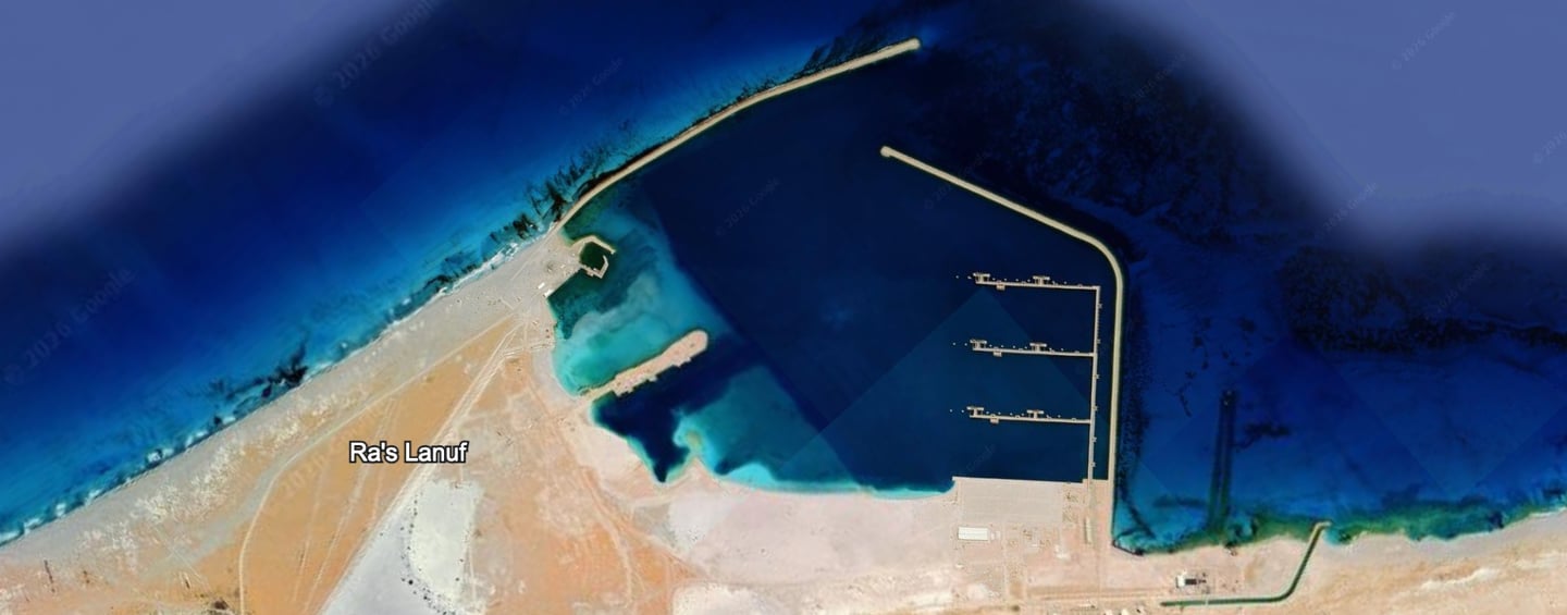
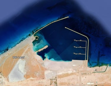
- Ras Lanuf Port
- Khoms Port
- Tripoli Port
- Zuwara Port
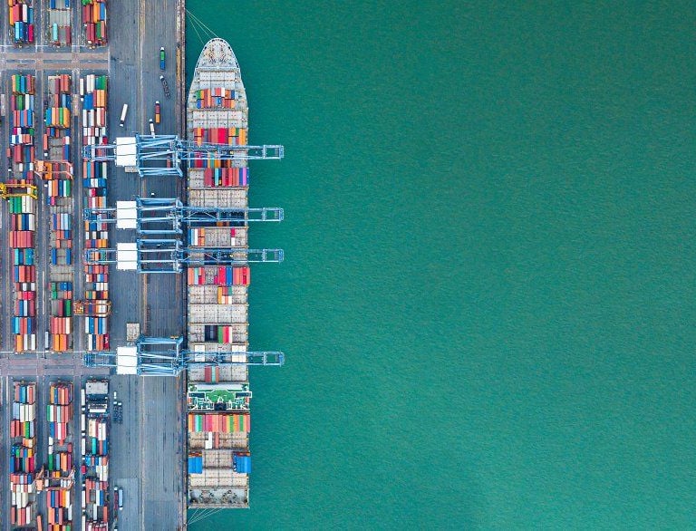
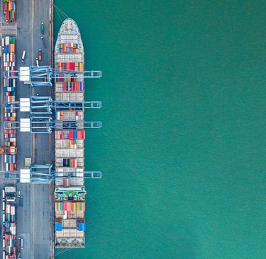
The company's primary objective is to achieve the highest performance rates in cargo handling, including loading and unloading, and to operate yards and warehouses professionally and with superior quality. It also aims to develop and diversify maritime services, while fostering creativity among its employees, regardless of their background or specialization, thus contributing to a brighter future for our beloved nation. The company possesses a large fleet of handling equipment and machinery of varying capacities and load capacities. It also owns a fleet of diverse marine vessels to provide maritime services at the ports, including marine surveying, dredging, deepening, towing, pilotage, maneuvering, and mooring, in addition to floating marine cranes. The Libyan Ports Company consistently demonstrates a strong commitment to investing in modern machinery and equipment, coupled with developing employee skills and providing them with all necessary occupational safety equipment. All of this is aimed at delivering effective and efficient customer service, while emphasizing teamwork and transparency.

81
2870
Number of employees
sidewalk
267
7
Diverse mechanism
ports


Commercial services
We manage Libyan ports efficiently to ensure the smooth flow of loading and unloading.


shipping
We offer integrated shipping services that ensure goods arrive safely and on time.
unloading
We use state-of-the-art equipment to unload goods quickly and with high accuracy.
latest news
Our online services
A range of electronic services that assist visitors to the site
Ship status identifier at anchor


Statement of the ship's status at berth, type of incoming cargo, and port of call
Ship tracking
From here you can find out the ship's location at sea
Company registration
You can register your company by completing the required information.